Population 527 (2011 census) Postal code 2251 | Postcode(s) 2251 Area 110 ha | |
 | ||
Location 9 km (6 mi) SSE of Gosford10 km (6 mi) WSW of Terrigal | ||
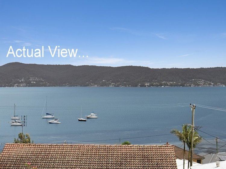
Yattalunga is a south-eastern suburb of the Central Coast region of New South Wales, Australia. It is part of the Central Coast Council local government area.
Map of Yattalunga NSW 2251, Australia
References
Yattalunga, New South Wales Wikipedia(Text) CC BY-SA
