
Population 294 (2011) Sovereign state United Kingdom Local time Monday 8:33 AM | OS grid reference TL0697 Postcode district PE8 | |
 | ||
Weather 8°C, Wind W at 16 km/h, 73% Humidity | ||
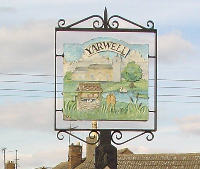
Yarwell is a village on the River Nene in the extreme east of the English county of Northamptonshire near the border with Cambridgeshire. Its name is derived from 'the spring where the yarrow grows'. At the time of the 2001 census, the parish's population was 316 people, reducing to 294 at the 2011 Census.
Map of Yarwell, UK
Yarwell has a pub called The Angel Inn, a village hall and a church. One of its two farms has been converted into a housing development and the other has applied for planning permission. Until recently there was a Methodist church in the village; the post office closed in 1993. The village school closed in the early 1960s and in 2003 was redeveloped into three houses. In total there are about 130 houses in Yarwell.
Yarwell and Nassington Britannia band is the local brass band which rehearses in the village hall and draws its players from the surrounding area including Stamford and Oundle.
The preserved Nene Valley Railway has a station at Yarwell Junction. Before closure in the 1960s, this was the junction of two lines, one from Market Harborough and the other from Northampton. It is on the Cambridgeshire side of the Nene at grid reference TL078970.
Also nearby is Old Sulehay, a historical hunting forest now managed as a nature reserve.