
Population 120 (2006 census) Local time Monday 2:02 PM | Postcode(s) 5653 Postal code 5653 | |
 | ||
Weather 19°C, Wind S at 16 km/h, 46% Humidity | ||
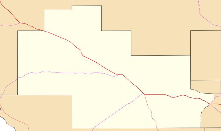
Yaninee is a small town situated on the Eyre Highway in central Eyre Peninsula, South Australia, 21 kilometres (13 mi) west of Wudinna. At the 2006 census, Yaninee and the surrounding area had a population of 120.
Map of Yaninee SA 5653, Australia
Established in the late 19th century, Yaninee was once a thriving town servicing the local farming community. Some of the original farming families were the Bubners and the Scholzs. The General Store, now closed, was operated by N.F. and D.T. McEvoy and Mrs Schacke in the 1950s Ray and Grace Wickes in the 1960s. The Lutheran church still stands as do the netball and tennis courts and the football oval still hosts regional games.
References
Yaninee, South Australia Wikipedia(Text) CC BY-SA