
Local time Monday 2:27 AM | District Markaz Rif Dimashq Time zone EET (UTC+2) | |
 | ||
Weather 7°C, Wind NE at 8 km/h, 65% Humidity | ||
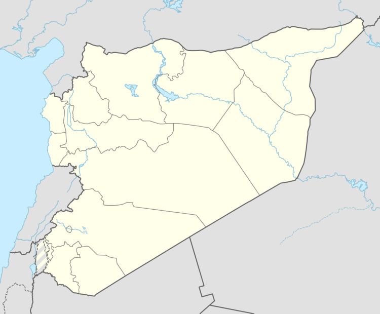
Yalda (Arabic: يلدا, also spelled Yelda) is a town in southern Syria, administratively part of the Rif Dimashq Governorate, located on the southern outskirts of Damascus to the west of the Yarmouk Camp. Nearby localities include al-Hajar al-Aswad, Jaramana, Sayyidah Zaynab, al-Sabinah and Babbila. According to the Syria Central Bureau of Statistics, Yalda had a population of 28,384 in the 2004 census. The town is also in the Babbila nahiyah consisting of 13 towns and villages with a combined population of 341,625.
Contents
Map of Yalda, Syria
History
The town has ancient ruins including foundations of hewn stone and Corinthian columns of basalt.
Yalda was visited by Syrian geographer Yaqut al-Hamawi in the early 13th-century, during Ayyubid rule. He noted that it was "a village lying some 3 miles from Damascus. The final n is sometimes left out, and the name pronounced Yalda."