
Country Turkey District Gelendost Time zone EET (UTC+2) Local time Monday 1:15 AM Area code 0246 | Province Isparta Province Elevation 1,040 m (3,410 ft) Postal code 32900 Population 1,848 (2014) | |
 | ||
Weather -2°C, Wind E at 3 km/h, 66% Humidity | ||
Yaka is a belde (town) in Isparta Province, Turkey
Contents
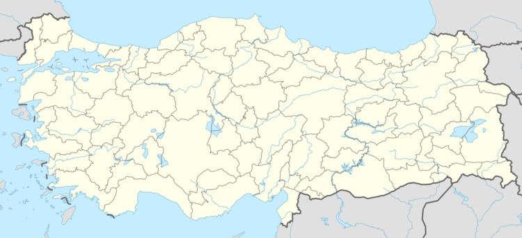
Map of 32900 Yaka K%C3%B6y%C3%BC%2FGelendost%2FIsparta Province, Turkey
Geography
Yaka is in Gelendost district of Isparta Province. It is situated to the east of Lake Eğirdir and to the south of Gelendost at 36°02′N 31°02′E. Distance to Gelendost is 3 kilometres (1.9 mi) and to Isparta is 80 kilometres (50 mi). The population of the town was 1848 as of 2014.
History
The area around Yaka was probably populated during the Neolithic Age and there is a rock carved figure of a female to the east of the town which is thought to be of Cybele, the mother goddess of ancient Anatolia. The present town was founded by Turks around the 15th century. The name of the town suggests that these people may be of Yaka tribe from Mangyshlak Peninsula at the east coast of Caspian Sea, now in Kazakhstan. (There are many other settlements in Turkey with the same name) But the population of the settlement also included Greeks up to 20th century before population exchange agreement between Greece and Turkey. In 1975 the settlement was declared a seat of township.
Economy
Cattle rising and apple production constitute the main revenues of the town. There are also some small scale workshops. Another source of revenue is the former town residents who now are working in Germany as gastarbeiter.