
Country Ukraine Elevation 224 m (735 ft) Postal code 30087 Area 2.88 km² Population 567 (2009) | Oblast Khmelnytskyi Oblast Time zone EET (UTC+2) Area code(s) +380 3842 Local time Sunday 11:10 PM | |
 | ||
Weather 6°C, Wind S at 3 km/h, 68% Humidity | ||
Yablunivka (Ukrainian: Яблуні́вка) is a village in the Slavuta Raion (district) of the Khmelnytskyi Oblast (province) in western Ukraine. The village is located in the north of Khmelnytskyi Oblast, on the border from the Zhytomyr Oblast. The population of the village is around 567 persons.
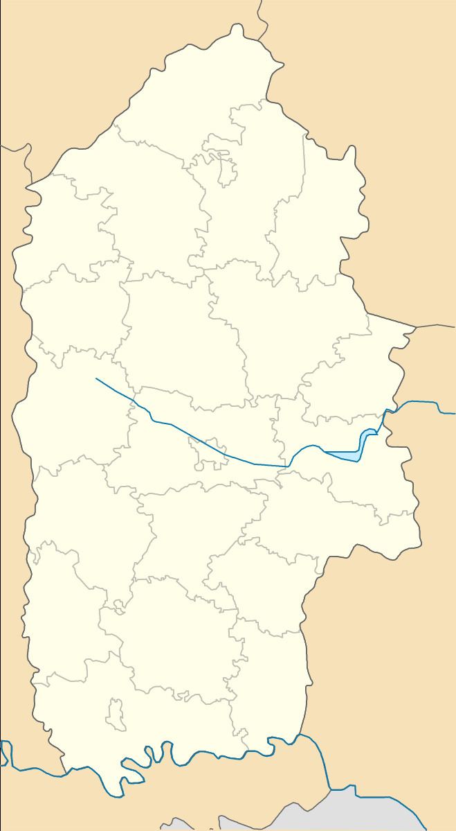
Map of Yablunivka, Khmelnytska, Ukraine
It is situated 141 kilometres (88 mi) from the regional center Khmelnytskyi, 49 kilometres (30 mi) from the district center Slavuta, and 43 kilometres (27 mi) from the town Shepetivka.
The Maniatynska village council forms the local government.
The regional psychiatric hospital is located in the village.
References
Yablunivka, Slavuta Raion Wikipedia(Text) CC BY-SA