
Admin HQ (Chef-lieu) Yélimané Area 5,700 km² | Time zone GMT (UTC+0) Local time Sunday 8:54 AM | |
 | ||
Weather 30°C, Wind N at 13 km/h, 10% Humidity | ||
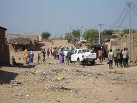
Yélimané Cercle is an administrative subdivision of the Kayes Region of Mali. Its administrative centre (chef-lieu) is the town of Yélimané. In the 2009 census the population of the cercle was 178,442.
Map of Yelimane, Mali
Yélimané Cercle is a major center of gold mining.
The cercle is subdivided into 12 communes:
References
Yélimané Cercle Wikipedia(Text) CC BY-SA