
Country United States Time zone Eastern (EST) (UTC-5) Elevation 104 m Area code 207 | Township Reed Plantation GNIS feature ID 578733 Local time Thursday 1:32 PM | |
 | ||
Weather 4°C, Wind E at 13 km/h, 92% Humidity | ||
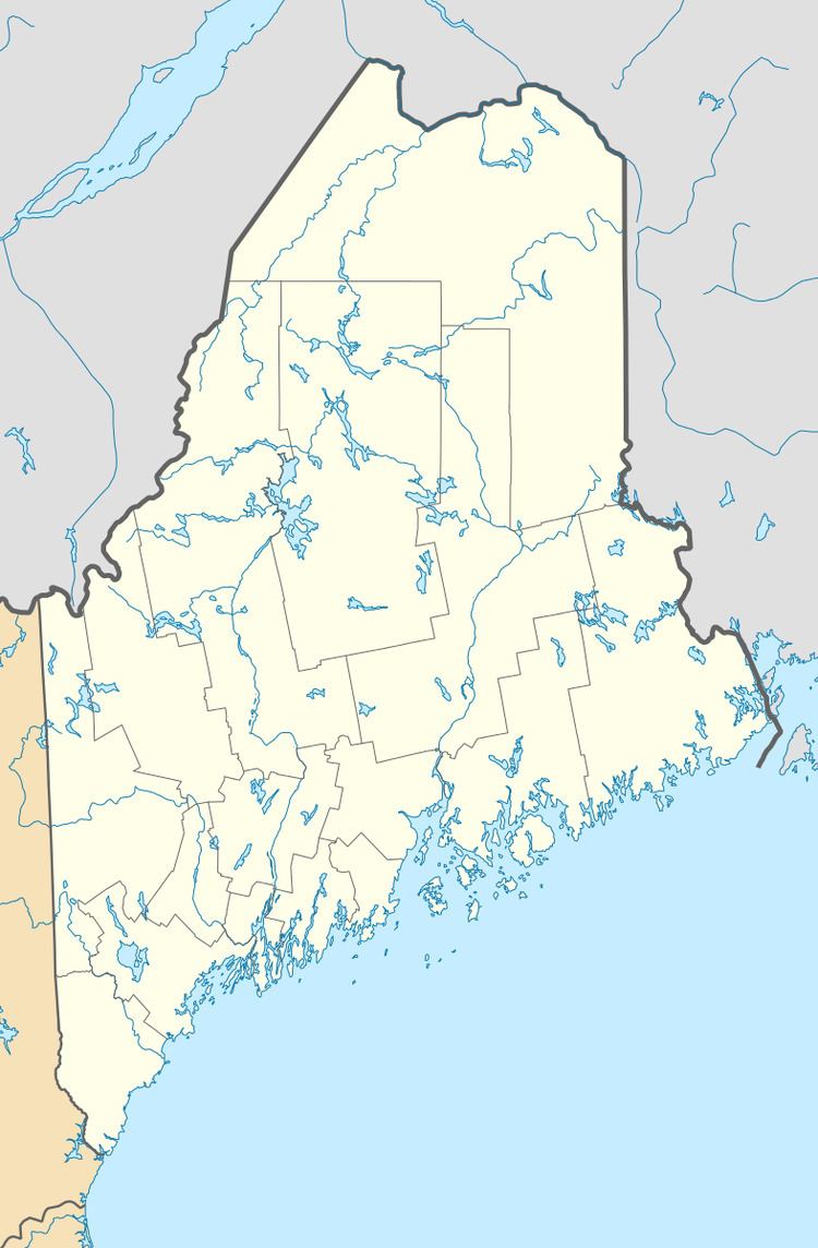
Wytopitlock is an unincorporated village in Reed Plantation, Aroostook County, Maine, United States. Wytopitlock is located on the Mattawamkeag River and is served by Maine State Route 171.
Map of Wytopitlock, ME 04497, USA
References
Wytopitlock, Maine Wikipedia(Text) CC BY-SA