
OS grid reference TA177332 Sovereign state United Kingdom Dialling code 01482 | Local time Thursday 6:32 PM Postcode district HU11 | |
 | ||
Unitary authority Weather 12°C, Wind W at 23 km/h, 61% Humidity | ||
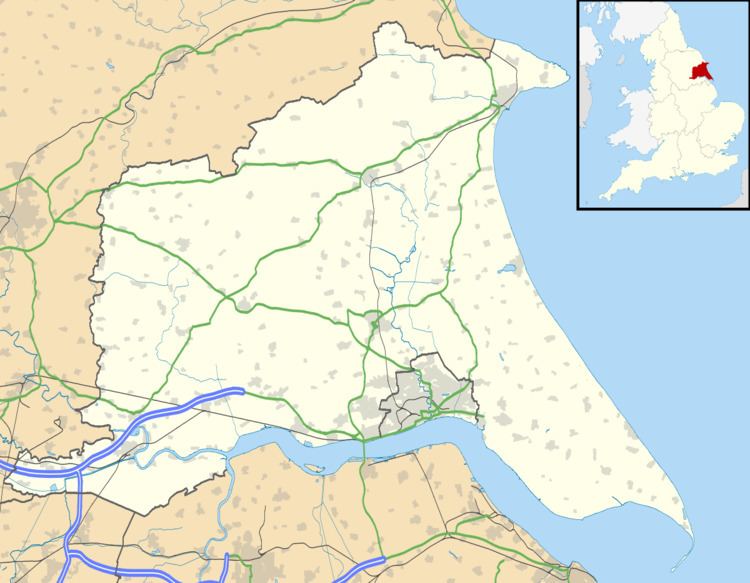
Wyton is a hamlet in the East Riding of Yorkshire, England and is part of the civil parish of Bilton. It is situated approximately 6 miles (9.7 km) east of Hull city centre. Wyton leads from Bilton through to Sproatley.
Map of Wyton, Hull, UK
Wyton is a small farming village with few houses, it is used for farming because of its rich soil, and large, open space. Its history is small, but was a Quaker village in the 17th century. There are still signs of the Quakers, such as buried ploughing machines, buried clothes and the remains of the houses (more on the Sproatley track, leading from Sproatley to Coniston). Wyton contains a Grade II listed Wesleyan Methodist Church, a milestone and a hall but there are no schools, public houses, post offices, hotels, public telephones or sports centres. Wyton is usually called a hamlet because it is even smaller than a village.