Population 1,951 (2011 census) Area 90 ha | Postcode(s) 2259 Parish Munmorah Postal code 2259 Local time Friday 2:48 AM | |
 | ||
Weather 16°C, Wind E at 6 km/h, 79% Humidity | ||
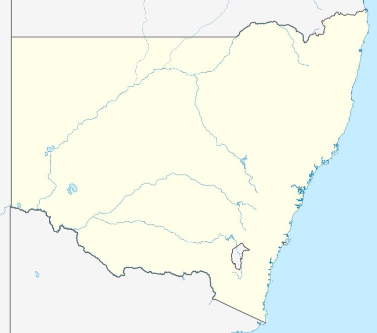
Wyongah is a suburb of the Central Coast region of New South Wales, Australia. It is part of the Central Coast Council local government area.
Contents
Map of Wyongah NSW 2259, Australia
Wyongah is mostly residential, although there is a small shopping area in the suburb. The area is close to Wyong Hospital and is serviced by Busways route 81, 82 and 83 buses. Routes 81 and 82 run from Lake Haven to Wyong and Tuggerah via Wyongah (and return) while the 83 is a local service from Lake Haven to Wyongah.
Notable people
References
Wyongah, New South Wales Wikipedia(Text) CC BY-SA
