Postcode(s) 2550 Local time Friday 1:40 AM | Postal code 2550 Population 368 (2006 census) | |
 | ||
Weather 7°C, Wind W at 6 km/h, 96% Humidity | ||
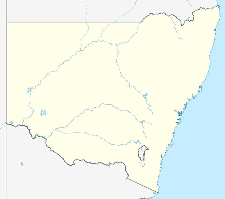
Wyndham is a village located 519 km south of Sydney, on the far south coast of New South Wales, Australia in the Bega Valley Shire. At the 2006 census, Wyndham had a population of 368.
Contents
Map of Wyndham NSW 2550, Australia
Neighboring towns are Bega, Merimbula, Pambula, Candelo and Bombala.
Facilities
Wyndham General Store (also Post Office, service station, cafe), Wyndham primary school, Wyndham School of Arts Hall, Uniting Church Hall, Sports Ground, Stringy bark centre, Robbie Burns Hotel (local pub), Ultraviolet treated water.
Surrounds
Wyndham has a stunning backdrop of Jingera rock, a sheer granite rock face.
Events
School of Arts Hall Wyndham Village Markets, annual art show, annual ballet performance, ballet lessons
Stringy Bark Centre yoga classes, massage and natural therapies
Wyndham Village Markets
Wyndham Village Markets are held on the fourth Sunday of each month in the School Of Arts Hall, with a range of crafts, foods, and often tools.
