
Postcode(s) 2640 Postal code 2640 Population 205 (2006 census) | County Goulburn Local time Friday 1:20 AM Lga Greater Hume Shire | |
 | ||
Weather 11°C, Wind SE at 5 km/h, 82% Humidity | ||
Wymah /ˈwaɪmə/ is a rural community in the south east part of the Riverina very close to the border of Victoria, Australia. It is situated by road, about 11 kilometres (7 mi) south from Bowna and 23 kilometres (14 mi) west from Talmalmo. Wymah is situated on the Wymah River Road accessible from Bowna. At the 2006 census, Wymah had a population of 205.
Map of Wymah NSW 2640, Australia
The place name is derived from the Aboriginal word meaning "White Cockatoo". Wagra Post Office opened on 1 February 1879, was renamed Wymah in 1912 and closed in 1952.
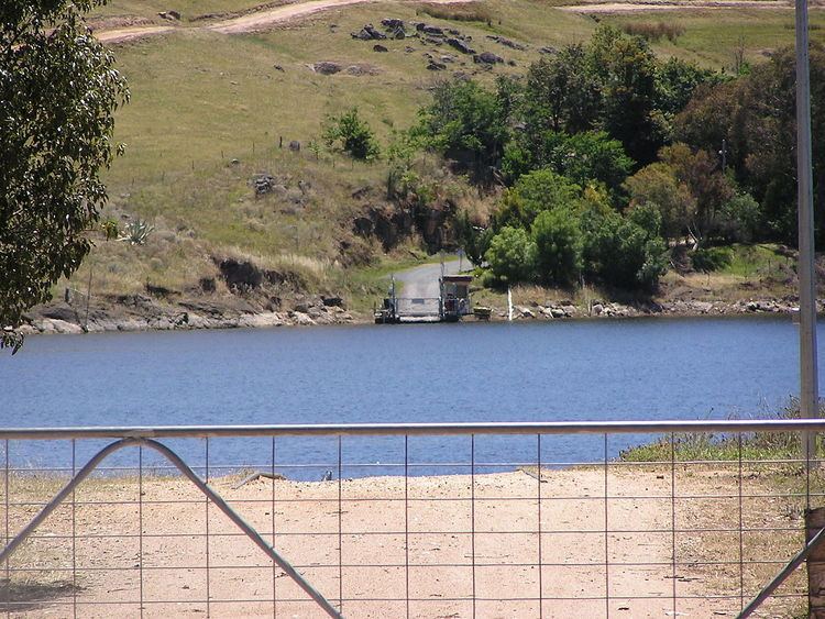
The Wymah Ferry crosses the Murray River when the Hume Dam is full; in low water conditions the ferry can no longer operate.
References
Wymah, New South Wales Wikipedia(Text) CC BY-SA