
FIPS code 55-89275 Elevation 280 m Population 148 (2013) Area code 608 | Time zone Central (CST) (UTC-6) GNIS feature ID 1577062 Area 153 ha Local time Thursday 9:51 AM | |
 | ||
Weather 4°C, Wind N at 24 km/h, 59% Humidity | ||
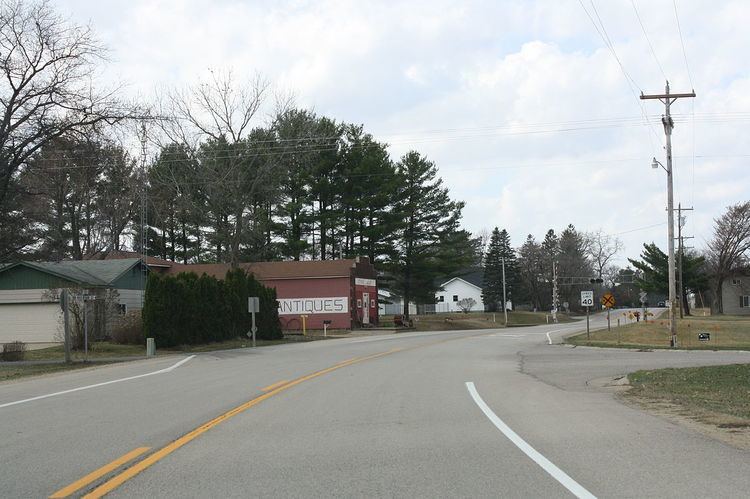
Wyeville is a village in Monroe County, Wisconsin, United States. The population was 147 at the 2010 census.
Contents
Map of Wyeville, WI, USA
History
Wyeville takes its name from Wythe County, Virginia. It is located on Wisconsin Highway 21. It is also the place where a railroad wye junction existed for the Chicago and North Western Railway and its subsidiary, the Omaha Road.
Geography
Wyeville is located at 44°1′40″N 90°23′9″W (44.027657, -90.385932).
According to the United States Census Bureau, the village has a total area of 0.59 square miles (1.53 km2), all of it land.
2010 census
As of the census of 2010, there were 147 people, 62 households, and 38 families residing in the village. The population density was 249.2 inhabitants per square mile (96.2/km2). There were 70 housing units at an average density of 118.6 per square mile (45.8/km2). The racial makeup of the village was 95.9% White, 1.4% Native American, 0.7% from other races, and 2.0% from two or more races. Hispanic or Latino of any race were 1.4% of the population.
There were 62 households of which 25.8% had children under the age of 18 living with them, 50.0% were married couples living together, 6.5% had a female householder with no husband present, 4.8% had a male householder with no wife present, and 38.7% were non-families. 22.6% of all households were made up of individuals and 8.1% had someone living alone who was 65 years of age or older. The average household size was 2.37 and the average family size was 2.79.
The median age in the village was 43.5 years. 21.1% of residents were under the age of 18; 8.1% were between the ages of 18 and 24; 25.8% were from 25 to 44; 28.5% were from 45 to 64; and 16.3% were 65 years of age or older. The gender makeup of the village was 53.7% male and 46.3% female.
2000 census
As of the census of 2000, there were 146 people, 56 households, and 39 families residing in the village. The population density was 245.7 people per square mile (95.5/km²). There were 60 housing units at an average density of 101.0 per square mile (39.3/km²). The racial makeup of the village was 93.84% White, 3.42% Native American, 2.74% from other races. Hispanic or Latino of any race were 2.74% of the population.
There were 56 households out of which 30.4% had children under the age of 18 living with them, 57.1% were married couples living together, 7.1% had a female householder with no husband present, and 28.6% were non-families. 25.0% of all households were made up of individuals and 19.6% had someone living alone who was 65 years of age or older. The average household size was 2.61 and the average family size was 3.15.
In the village, the population was spread out with 29.5% under the age of 18, 6.2% from 18 to 24, 30.8% from 25 to 44, 21.9% from 45 to 64, and 11.6% who were 65 years of age or older. The median age was 37 years. For every 100 females there were 105.6 males. For every 100 females age 18 and over, there were 87.3 males.
The median income for a household in the village was $38,750, and the median income for a family was $44,531. Males had a median income of $33,750 versus $27,813 for females. The per capita income for the village was $14,344. There were 9.8% of families and 13.1% of the population living below the poverty line, including 25.5% of under eighteens and 9.5% of those over 64.