
Country United States Time zone CST (UTC-6) Elevation 179 m Local time Thursday 9:10 AM ZIP codes 61356, 61379 | Established November 6, 1849 GNIS feature ID 0429961 Area 93.6 km² Population 1,364 (2010) | |
 | ||
Weather 5°C, Wind NW at 32 km/h, 67% Humidity | ||
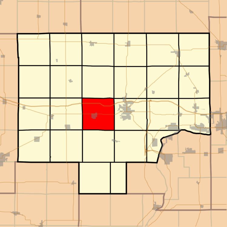
Wyanet Township is one of twenty-five townships in Bureau County, Illinois, USA. As of the 2010 census, its population was 1,364 and it contained 587 housing units. Wyanet Township changed its name from Centre Township on an unknown date.
Contents
- Map of Wyanet Township IL USA
- Geography
- Cities
- Cemeteries
- Major highways
- Airports and landing strips
- School districts
- Political districts
- References
Map of Wyanet Township, IL, USA
Geography
According to the 2010 census, the township has a total area of 36.14 square miles (93.6 km2), of which 36.09 square miles (93.5 km2) (or 99.86%) is land and 0.04 square miles (0.10 km2) (or 0.11%) is water.
Cities
Cemeteries
The township contains these five cemeteries: Aldrich Family, County Home, Forest Hill, Sapp and Triplett.
Major highways
Airports and landing strips
School districts
Political districts
References
Wyanet Township, Bureau County, Illinois Wikipedia(Text) CC BY-SA