
Postcode(s) 4489 Population 116 (2006 census) Local time Friday 12:10 AM | Postal code 4489 | |
 | ||
Location 827 km (514 mi) west of Brisbane; 672 km (418 mi) W of Toowoomba; 110 km (68 mi) N of Cunnamulla Weather 20°C, Wind E at 14 km/h, 61% Humidity | ||
Wyandra is a town in outback South West Queensland, Australia in the Paroo Shire local government area. Wyandra is located on the Mitchell Highway, 827 kilometres (514 mi) west of the state capital, Brisbane and 110 kilometres (68 mi) north of Cunnamulla. The town is built on the banks of the Warrego River and at the 2006 census had a population of 116.
Contents
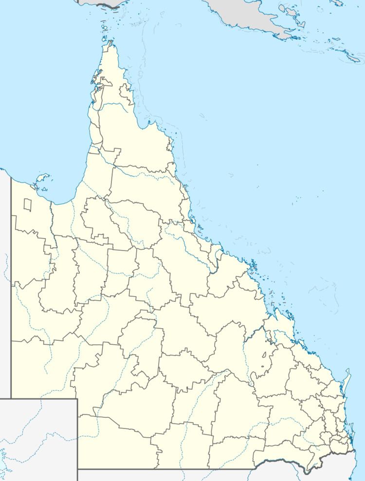
Map of Wyandra QLD, Australia
Originally named Claverton, the town grew with the completion of the railway link with Charleville in 1897 and quickly became a centre for local grazing properties. Wyandra was connected to the state electricity grid in 1970 and the then obsolete powerhouse was converted into a museum.
Facilities
Wyandra has a public library, Powerhouse Museum, Wyandra hall and park .
References
Wyandra, Queensland Wikipedia(Text) CC BY-SA