Local time Thursday 9:43 PM | Province Taiwan Province | |
 | ||
Weather 20°C, Wind S at 16 km/h, 69% Humidity Points of interest Shenshan Waterfall, 霧台教會, Hayouxi Hotspring | ||
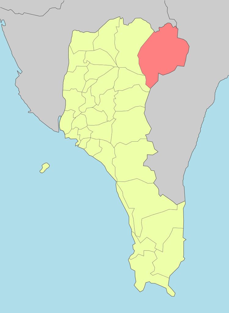
Wutai Township (Chinese: 霧臺鄉; pinyin: Wùtái Xiāng; Rukai language: Vedai) is a mountain indigenous township in Pingtung County, Taiwan. It has a population total of 3,435 and an area of 278.80 square kilometres (107.65 sq mi). The main population is the Rukai people of the Taiwanese aborigines.
Contents
- Map of Wutai Township Pingtung County Taiwan 902
- History
- Demographics
- Administrative divisions
- Tourist attractions
- References
Map of Wutai Township, Pingtung County, Taiwan 902
History
During the Japanese era, Wutai was grouped with modern-day Sandimen Township and Majia Township as "Savage Land" (Japanese: 蕃地), which was governed under Heitō District, Takao Prefecture.
Demographics
The township is mainly inhabited by the Rukai people.
Administrative divisions
The township comprises six villages: Ali, Dawu, Haocha, Jiamu, Jilou and Wutai.
Tourist attractions
References
Wutai, Pingtung Wikipedia(Text) CC BY-SA
