
River system Rhine//North Sea Length 91 km Mouth Rhine | Waterbodies Feldsee, Titisee Source Seebuck Country Germany | |
 | ||
Main source On the Seebuck (Black Forest) as the Seebach
1,440 m (4,720 ft) Basin size 1,139.6 km (440.0 sq mi) Tributaries Left:
Kotbach (mouth river of the Klettgau rivers, the Klingengraben and the Schwarzbach)
Right:
Schlücht, Steina Discharge Average rate:
16.1 m/s (570 cu ft/s) River mouth The Rhine near Waldshut-Tiengen; 315 m (1,033 ft); 47°36′51″N 8°14′59″E / 47.61417°N 8.24972°E Coordinates: 47°36′51″N 8°14′59″E / 47.61417°N 8.24972°E Similar Rhine, Schluchsee, Elz, Titisee, Radolfzeller Aach | ||
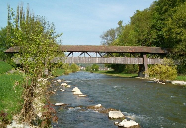
The Wutach is a river in Baden-Württemberg, Germany, partly located on the border with the canton of Schaffhausen, Switzerland. It is formed in the southern part of the Black Forest by the confluence of two smaller rivers, the Haslach and the Gutach, near the town of Lenzkirch.
Map of Wutach, Germany
The larger of the two is the Gutach, which flows out of lake Titisee; the largest of the streams feeding the lake is the Seebach, which rises near the peak of the Feldberg, the highest point in the Black Forest, and this is usually taken as the ultimate source of the Wutach. On this basis, the total length of the river is 90.2 km (56.0 mi).
From the confluence where the river acquires the name Wutach, it flows ESE through a series of three gorges with a total length of more than 30 km (19 mi) and a maximum depth of 160 m (520 ft) (see Wutach Gorge) which has long been a tourist attraction. Between the second and the last part of the gorge, near the village of Achdorf in the municipality of Blumberg, it takes a sharp turn (known as the Wutachknie or Knee of the Wutach), and subsequently flows SW to join the Rhine near Tiengen in the town of Waldshut-Tiengen.
At the Wutachknie the river is very close to the headwaters of the Danube, until the last glacial period the upper course of the Wutach was the headstream of the Danube catchment (called Feldbergdonau).
The stretch of the Wutach is the site of two remarkable railways. The upper stretch of the first gorge is crossed and followed by the so-called Höllentalbahn. The valley just below the third gorge is the site of the Wutach Valley Railway, officially known in German as the Wutachtalbahn but commonly known as the Sauschwänzlebahn (pigtail) because it proceeds in a series of tight turns, including crossing back over itself, in order to make a substantial increase in height without exceeding a 1:100 gradient.
The name Wutach means "Furious water", referring to the whitewater flow through the gorge. Wut is recognisably cognate to a modern German word for anger; ach, which forms part of the names of many rivers in the region, comes from an old Celtic word for water, cognate with Latin aqua.