
Country United States Counties Madison ZIP code 43123 Elevation 290 m | State Ohio Time zone Eastern (EST) (UTC-5) Area code(s) 614 Local time Thursday 6:05 AM | |
 | ||
Weather 11°C, Wind S at 18 km/h, 81% Humidity | ||
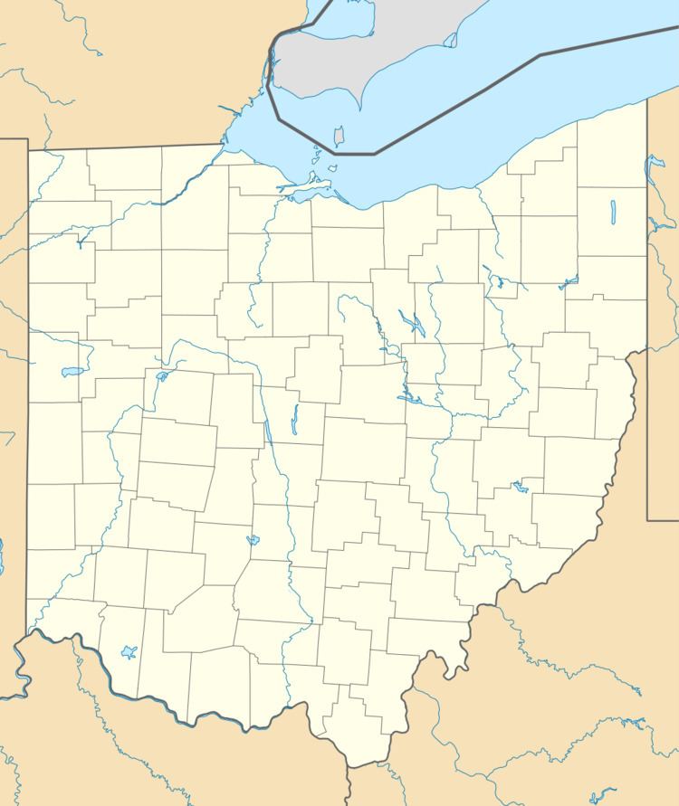
Wrightsville is an unincorporated community in Fairfield Township, Madison County, Ohio, United States. It is located at 39°51′40″N 83°14′50″W, at the intersection of Ohio State Route 665 and Georgesville-Wrightsville Road, approximately four miles north of Kiousville. Some national maps mistakenly show Wrightsville in Franklin County.
Map of Wrightsville, OH 43123, USA
The Wrightsville Post Office was established on January 23, 1888, but was discontinued on January 15, 1901. The mail service is now sent through the Georgesville branch.
References
Wrightsville, Madison County, Ohio Wikipedia(Text) CC BY-SA