
 | ||
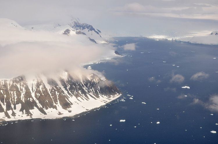
Wright Peninsula (67°28′S 68°10′W) is a peninsula lying between Ryder Bay and Stonehouse Bay on the east coast of Adelaide Island, Antarctica. Named by the United Kingdom Antarctic Place-Names Committee (UK-APC) in 1964 for Alan F. Wright, British Antarctic Survey (BAS) surveyor at nearby Adelaide station, 1960-63.
Prior to 1964, the peninsula was called "Square Peninsula", which is in accordance to its somewhat rectangular shape. On its northern (Stonehouse Bay) coastline the peninsula is fringed by the Stokes Peaks and on its southern (Ryder Bay) side by the Reptile Ridge. Its eastern coastline on Laubeuf Fjord is formed by the Wormald Ice Piedmont, whose vertical ice cliffs are broken in only two places to provide for ice free landing sites. One of these is at Rothera Point at the southern tip of the peninsula, where the British Rothera Research Station is situated. The other is at tiny Mackay Point. Just off the piedmont is Webb Island. The Princess Royal Range separates the peninsula from the rest of Adelaide Island; the only 'gap' is provided by McCallum Pass.
Since 1985, there is a small specially protected area at Rothera Point of 0.1 km2.