
OS grid reference TL 915 905 Region East Sovereign state United Kingdom Area 32.25 km² Local time Thursday 10:12 AM Population 374 (2011 census) | Civil parish Wretham Country England Post town THETFORD Shire county Norfolk District Breckland District Postcode district IP24 | |
 | ||
Weather 11°C, Wind W at 3 km/h, 76% Humidity | ||
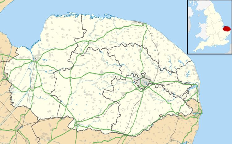
Wretham is a civil parish and village in the English county of Norfolk. The village, which is also referred to as East Wretham, is situated some 6 miles (9.7 km) north east of the town of Thetford and 25 miles (40 km) south west of the city of Norwich.
Map of Wretham, UK
The civil parish, which also includes the villages of Stonebridge and Illington, has an area of 32.25 km2 (12.45 sq mi). In the 2001 census it had a population of 366 in 137 households, including Stonebridge and increasing to a population 0f 374 in 141 households at the 2011 Census. For the purposes of local government, the parish falls within the district of Breckland.
The village is located close to the British Army's Stanford Battle Area, and a proportion of the parish lies within the prohibited area of that infantry training area.
The proprietor of the Dog and Partridge local pub has gained publicity for his stance against smoking ban that was introduced into England and Wales in July 2007.