
Country Canada Founded 1910 Area code Area code 403 Local time Thursday 1:11 AM | Province Alberta Census division 2 Incorporated 1913 Postal code span T0K 2P0 | |
 | ||
Weather 4°C, Wind S at 21 km/h, 71% Humidity | ||
Wrentham is a hamlet in southern Alberta, Canada within the County of Warner No. 5. It is located southeast of the intersection of the Veteran Memorial Highway (Highway 36) and the historic Red Coat Trail (Highway 61), approximately 25 kilometres (16 mi) east of the Village of Stirling, 30 kilometres (19 mi) south of the Town of Taber and 55 kilometres (34 mi) west of the Village of Foremost.
Contents
Map of Wrentham, AB, Canada
The hamlet was named by the Canadian Pacific Railway after Wrentham, a village in Suffolk, England.
The hamlet is located in census division No. 2 and in the federal riding of Lethbridge.
Demographics
Statistics Canada has not recently published a population for Wrentham.
Industry Canada shows that Wrentham's greater rural area had a total population of 439 living in 103 dwellings in 2001. With a land area of 503.2 km2 (194.3 sq mi), its greater rural area has a population density of 2.0/km2 (5.2/sq mi).
Regional attractions
The Devil's Coulee Dinosaur Heritage Museum features a Hadrosaur (duck-billed dinosaur) nest and embryo, ancient fossils, dinosaur models, located in Warner.
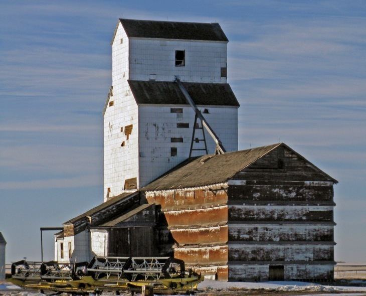
The Galt Historic Railway Park located 1 km north of Stirling is another popular museum which displays of life and travel in the 1880s to 1920s are set up in the restored 1890 North West Territories International Train Station from Coutts, Alberta, and Sweetgrass, Montana. The station was moved to the current location near Stirling in 2000 and is in the process of restoration. Future plans include moving the 1915 Ogilvie grain elevator from Wrentham for display along the station in the 36-acre (150,000 m2) park, and developing a railcar dining car facility using vintage Canadian Pacific Railway dining cars.
Stirling Agricultural Village is a National Historic Site of Canada, and was listed as one of only three communities in Canada designated as a National Historic Site because of the community’s well preserved settlement pattern that follows the Plat of Zion model. Located within the village are two museums and the Michelsen Farmstead, a totally restored 1900s home showcasing rural life in Alberta in the 1930s. Listed as a Provincial Historic Site in 2001., and the Galt Historic Railway Park.
Waterton Lakes National Park is a National Park located in the extreme southwest corner of Alberta, Canada, 40 km west of Cardston, and borders Glacier National Park in Montana, USA. Waterton Lakes was Canada's fourth National Park formed in 1895. The Rocky Mountains rise suddenly out of the rolling prairies in the park. Amid the peaks are the three Waterton Lakes, carved out of the rock by ancient glaciers.
Writing-on-Stone Provincial Park, is one of the largest areas of protected prairie in the Alberta park system, and serves as both a nature preserve and protection for the largest concentration of rock art, created by Plains People. There are over 50 rock art sites, with thousands of figures, as well as numerous archeological sites. Located 44 km east of Milk River.