Established 1912 LGA(s) Banana Shire Postal code 4702 | Postcode(s) 4702 Population 338 (2006 census) Local time Thursday 4:04 PM | |
 | ||
Location 609 km (378 mi) from Brisbane82 km (51 mi) from Rockhampton70 km (43 mi) from Biloela15 km (9 mi) from Dululu Weather 27°C, Wind E at 13 km/h, 49% Humidity | ||
Wowan is a small rural township in the Shire of Banana in Central Queensland, Australia. It is named from the Aboriginal word for Australian brush-turkey. At the 2006 census, Wowan and the surrounding area had a population of 338.
Contents
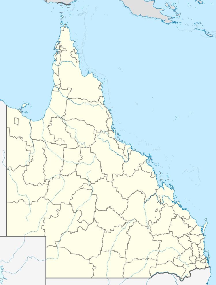
Map of Wowan QLD 4702, Australia
History
The town was settled in 1912. The butter factory opened on 1 April 1919; it was operated by the Dawson Valley Co-operative Company. Wowan State School opened on 1 June, 1900.
Economy
Farm produce from the area includes beef, hay, grain, pork and eggs.
Events
Wowan holds its annual agricultural show in August.
References
Wowan, Queensland Wikipedia(Text) CC BY-SA
