
Province Alberta | ||
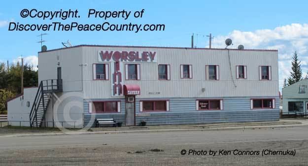 | ||
Worsley is a hamlet in northern Alberta, Canada within Clear Hills County. It is located in the Peace Country, at the northern end of Highway 726, approximately 18 km (11 mi) north of Highway 64, 59 km (37 mi) northwest of Hines Creek and 50 km (31 mi) east of the British Columbia border. It lies at an elevation of 650 m (2,130 ft) amidst prairie farmland and ranchland.
Contents
Map of Worsley, AB, Canada
It was named after Erick Worsley, a British Cavalry Officer and fur trader who arrived in the area in the 1930. Clear Hills County's municipal office is located in Worsley.
History
The first post office was established in Worsley in 1931.
It is an agricultural service centre for the surrounding farming communities, which raise mostly crops of barley, wheat, canola and fescue.
Attractions
The Whispering Pines Ski Hill, a 17-run ski resort is located in the Clear Hills, approximately 25 km (16 mi) northwest of Worsley.