
OS grid reference SU487766 Local time Thursday 4:05 AM | Sovereign state United Kingdom Postcode district RG20 Dialling code 01635 | |
 | ||
Weather 4°C, Wind N at 8 km/h, 89% Humidity | ||
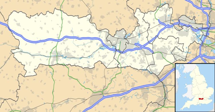
World's End is a village in Berkshire, England. It is in the district of West Berkshire, near the A34 road north of Newbury. To the north is the village of Beedon (where, according to the Grid Ref the 2011 Census population was included); to the south lie Downend and Chieveley.
Map of World's End, Newbury, UK
World's End is in the parish of Beedon.
References
World's End, Berkshire Wikipedia(Text) CC BY-SA