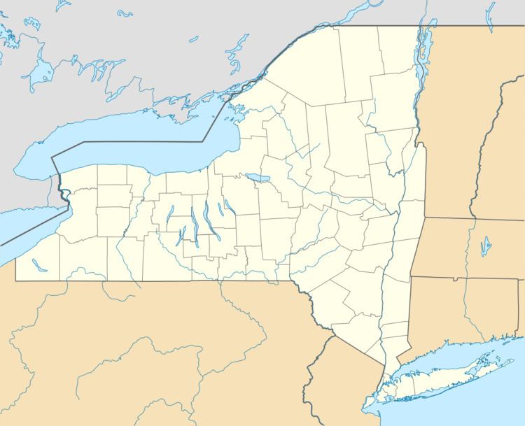
Country United States Area code(s) 607 Area 22.3 km² | State New York Time zone Eastern (EST) (UTC-5) Elevation 405 m Population 1,113 (2010) | |
 | ||
Worcester is a census-designated place (CDP) forming the central settlement of the town of Worcester in Otsego County, New York, United States. The population of the CDP was 1,113 at the 2010 census.
Geography
Worcester is located at 42°35′30″N 74°45′1″W (42.59172, -74.75050), along New York State Route 7. Interstate 88 skirts the south edge of the CDP, serving the community via Exit 19, one mile (1.6 km) east of the CDP center.
According to the United States Census Bureau, the CDP has a total area of 8.6 square miles (22.3 km2), of which 8.6 square miles (22.2 km2) is land and 0.039 square miles (0.1 km2), or 0.53%, is water.
References
Worcester (CDP), New York Wikipedia(Text) CC BY-SA
