
Postcode(s) 4507 Population 1,765 (2011 census) | Postal code 4507 | |
 | ||
Location 51 km (32 mi) from Brisbane GPO | ||
Ray white bribie island 27 fairway ave woorim
Woorim is a suburb of the Moreton Bay Region in Queensland, Australia on the eastern, or ocean, side of Bribie Island, adjacent to the Pacific Ocean. In the 2011 census, the suburb recorded a population of 1,765 persons, with a median age of 53 years.
Contents
- Ray white bribie island 27 fairway ave woorim
- Map of Woorim QLD 4507 Australia
- Bribie island woorim beach queenland australia part 2
- Demographics
- References
Map of Woorim QLD 4507, Australia
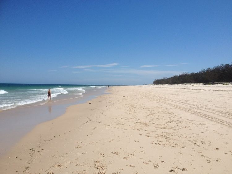
Woorim has a beach, a small shopping centre, and parklands adjoining the beach. Woorim is the location of the Bribie Island Research Centre, an aquaculture research facility. Erosion of the beach at Woorim is an ongoing issue with long term recession trends of the shoreline observed. In September 2007 Caboolture Shire Council published a Shoreline Erosion Management Plan in response.
Bribie island woorim beach queenland australia part 2
Demographics
In the 2011 census, Woorim recorded a population of 1,765 people, 52.4% female and 47.6% male. The median age of the Woorim population was 55 years, 18 years above the national median of 37. 70.5% of people living in Woorim were born in Australia. The other top responses for country of birth were England 6.3%, New Zealand 4.5%, Bhutan 1.1%, Netherlands 1.1%, Scotland 0.7%. 86.3% of people spoke only English at home; the next most common languages were 1.5% Nepali, 0.5% Greek, 0.4% Dutch, 0.2% Afrikaans, 0.2% German.