
Postcode(s) 2469 Postal code 2469 Federal division Division of Cowper | State electorate(s) Clarence Local time Thursday 2:47 AM | |
 | ||
LGA(s) Clarence Valley Council Weather 19°C, Wind SE at 32 km/h, 80% Humidity | ||
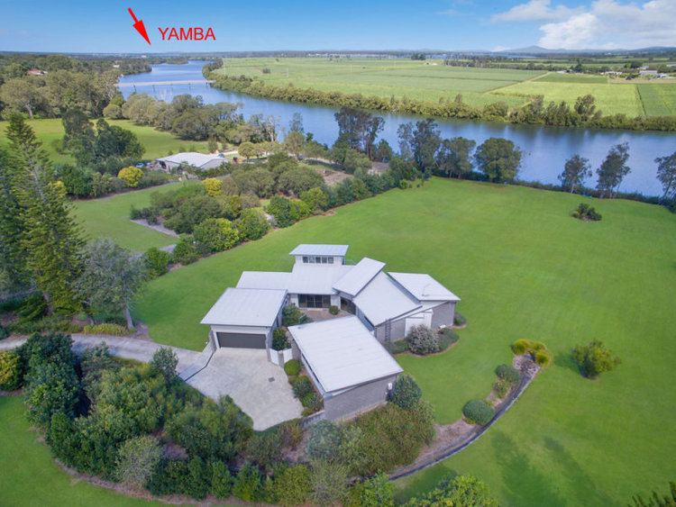
Woombah is a small but fast growing bushland village in Clarence Valley, New South Wales, Australia. This hamlet is located to the south of the World Heritage Listed Bundjalung National Park, near the Port of Yamba on Goodwood Island, and 15 minutes from the fishing village of Iluka. It is home to one of the world's southernmost coffee plantations.
Map of Woombah NSW 2469, Australia
The first Europeans settled in Woombah in 1830, establishing a timber industry.
There is a significant aboriginal site at Woombah, one of five in the Lower Clarence area. The north arm of the Clarence River at Woombah forms the border between the Bundjalung tribe to the north, and the Yaegl peoples to the south.
An aboriginal name for the star Canopus is Womba, meaning the "Mad Star" However this is a word from the Euahlayi people located in north-central New South Wales and south-central Queensland, and whilst unsure of its origin there is a general acceptance that Woombah means "crazy place".