
Postcode(s) 3276 Postal code 3276 Population 694 (2006 census) | Local time Thursday 2:35 AM | |
 | ||
Weather 13°C, Wind N at 13 km/h, 71% Humidity Location 25 km (16 mi) N of Warrnambool; 31 km (19 mi) S of Caramut; 13 km (8 mi) E of Hawkesdale | ||
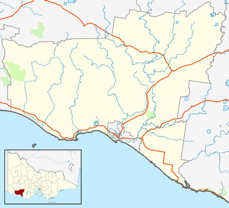
Woolsthorpe /wʊlsˈθɔːp/is a small town in the Shire of Moyne, Victoria, Australia. It is situated at the intersection of the Woolsthorpe-Heywood, Koroit-Woolsthorpe, and Warrnambool-Caramut Roads, on the banks of Spring Creek. There is a local pub, the National Hotel. At the 2006 census, Woolsthorpe had a population of 694.
Map of Woolsthorpe VIC 3276, Australia
The nearest large town is Warrnambool 26.5 kilometres further south.
Woolsthorpe Post Office opened on 6 August 1861.
The local agriculture is primarily based on sheep and cattle.
References
Woolsthorpe, Victoria Wikipedia(Text) CC BY-SA