
Postcode(s) 2464 Postal code 2464 | Local time Thursday 2:30 AM | |
 | ||
Weather 19°C, Wind SE at 32 km/h, 80% Humidity | ||
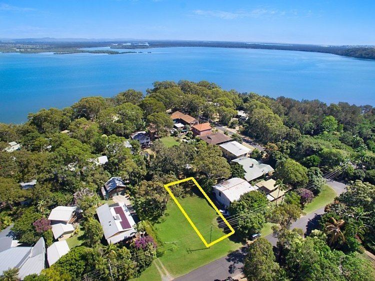
Wooloweyah is a small village on the northern coast of New South Wales, Australia. It is approximately five kilometres south of Yamba and approximately two kilometres west of Angourie. At the 2006 census, Wooloweyah had a population of 436.
Map of Wooloweyah NSW 2464, Australia
Wooloweyah is named for the lake that the village backs onto. The word 'Wooloweyah' translates roughly to 'big cedar trees' in the regional Aboriginal dialect.It's lake holds an estimated volume of 25,000 metric tons of water, and is home two 13 different species of fish, and 2 species of shark including the local wobbigong sea shark.
Wooloweyah also has a skate park, tennis court, children's playground, small soccer field as well as a community hall which is sometimes used to hold various types of functions.
Public transport is available to Wooloweyah. It is provided by a bus company called Busways which runs two bus stops