
Country United States Time zone CST (UTC-6) Elevation 140 m Local time Wednesday 10:28 AM | Established November 4, 1884 ZIP codes 62016, 62027 Area 124.9 km² Population 239 (2010) | |
 | ||
Weather 11°C, Wind E at 16 km/h, 94% Humidity | ||
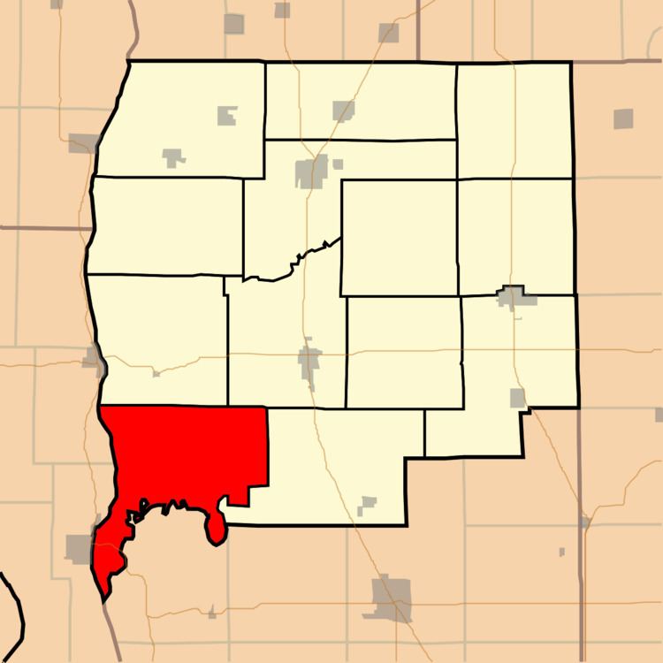
Woodville Township is one of thirteen townships in Greene County, Illinois, USA. As of the 2010 census, its population was 239 and it contained 128 housing units.
Contents
- Map of Woodville Township IL USA
- Geography
- Unincorporated towns
- Cemeteries
- Major highways
- Rivers
- School districts
- Political districts
- References
Map of Woodville Township, IL, USA
Geography
According to the 2010 census, the township has a total area of 48.24 square miles (124.9 km2), of which 47.41 square miles (122.8 km2) (or 98.28%) is land and 0.83 square miles (2.1 km2) (or 1.72%) is water.
Unincorporated towns
(This list is based on USGS data and may include former settlements.)
Cemeteries
The township contains these eleven cemeteries: Borlin, Busch, Clark, Cumming, Dayton, Fry, Maberry, Mills, Mount Gilead, Reynolds and Varble.
Major highways
Rivers
School districts
Political districts
References
Woodville Township, Greene County, Illinois Wikipedia(Text) CC BY-SA