
OS grid reference SU930715 Country England Post town Windsor Metropolitan county Berkshire Postcode district SL4 | Region South East Sovereign state United Kingdom Local time Wednesday 3:55 PM Dialling code 01344 Population 200 | |
 | ||
Metropolitan borough Bracknell Forest
Royal Borough of Windsor and Maidenhead Weather 15°C, Wind NW at 16 km/h, 50% Humidity | ||
Woodside is a hamlet in Berkshire, England, within the civil parishes of Winkfield and Sunninghill and Ascot in the boroughs of Bracknell Forest and Royal Borough of Windsor and Maidenhead.
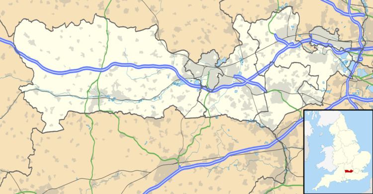
Map of Woodside, Windsor, UK
The settlement lies near to the A332 road and is approximately 1.5 miles (2.4 km) north-east of Ascot Racecourse and largely surrounded by Windsor Great Park. In the early Twentieth Century the south of the hamlet was the site of the Ascot Brick Works.
Formerly there were two hamlets 1) Woodend (to the South) with its accompanying big country house (last seen on an 1886 map and in what is now Crown Land). Woodend was in the Parish of Ascot and Sunninghill 2) Woodside (to the North. Woodside is in the Parish of Winkfield. Nowadays the name Woodend has all but disappeared to describe the hamlet and Woodside is applied to the whole hamlet/village. The Parish and Borough boundaries still run through the middle of the village and right through the centre of the Duke of Edinburgh public house. This boundary also runs along a bridleway called Hodge Lane and the old granite boundary markers are still there to be seen, they reflect the historic boundary between the Royal land (now Windsor & Maidenhead)and the Bishop's land (now Bracknell Forest)
The Thatched Cottage in Woodside Village is said to have once been the residence given to the Headmaster of Cranbourne School.