
OS grid reference SK551836 Sovereign state United Kingdom Local time Wednesday 3:47 PM Dialling code 01909 | Civil parish Woodsetts Postcode district S81 Population 1,746 (2011) | |
 | ||
Weather 14°C, Wind W at 23 km/h, 56% Humidity | ||
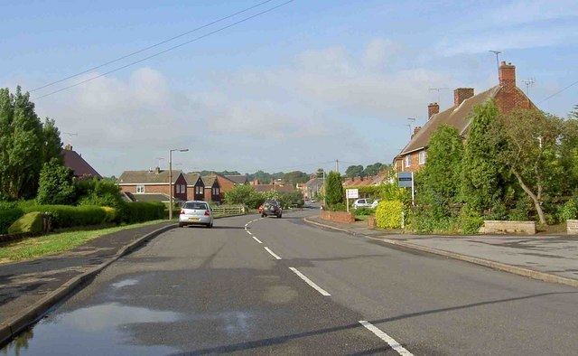
Woodsetts is a village and civil parish in the Metropolitan Borough of Rotherham in South Yorkshire, England, on the border with Nottinghamshire. It lies between the towns of Dinnington and Worksop at an elevation of around 60 metres above sea level, and has a population of 1,802 reducing to 1,746 at the 2011 Census.
Map of Woodsetts, UK
Originally a farming community, it has expanded into a modest commuter base serving Worksop and Sheffield. There is one pub: The Butcher's Arms, and a primary school: Woodsetts Junior and Infant School. There is also a small shopping precinct and a church.
To the north of Woodsetts is the smaller satellite settlement of Gildingwells.
The first written record of Woodsetts is in a 13th-century quitclaim (dated 1220) held at the Derbyshire Record Office (Hatfield de Rodes papers) where a bovate of land 'in the territory of Lyndrick, in Wudsetes' is mentioned. Other geographical locations mentioned nearby confirm that it is Woodsetts being referred to.