
OS grid reference SP0008 Post town CIRENCESTER Local time Wednesday 3:12 PM | Sovereign state United Kingdom Postcode district GL7 Dialling code 01285 | |
 | ||
Weather 13°C, Wind NW at 18 km/h, 54% Humidity | ||
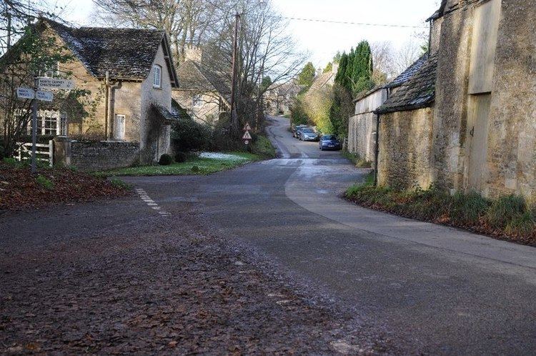
Woodmancote is a Cotswolds village near Cirencester, Gloucestershire, England. The village lies just off the A435. The village is 0.2 square miles (52 ha) in area.
Map of Woodmancote, Cirencester, UK
References
Woodmancote, Cirencester Wikipedia(Text) CC BY-SA