
Quadrant SW Established 1976 Population 6,529 (2006) | Ward 13 Elevation 1,070 m (3,510 ft) Local time Wednesday 7:49 AM | |
 | ||
Weather -2°C, Wind S at 3 km/h, 62% Humidity Restaurants CALGARY LEATHER & TACK, Three Crowns Pub, Lee Garden | ||
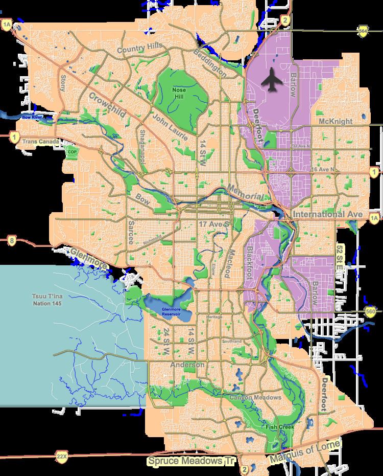
Woodlands is a residential neighbourhood in the south-west quadrant of Calgary, Alberta. The community is bordered by Fish Creek Provincial Park to the south, 24 Street SW to the west, Anderson Road SW to the north, and 14 Street SW to the east. The Canyon Meadows Golf course is entirely contained within the boundaries of Woodlands.
Contents
Map of Woodlands, Calgary, AB, Canada
Woodlands was established in 1976. It is represented in the Calgary City Council by the Ward 13 councillor.
Demographics
In the City of Calgary's 2012 municipal census, Woodlands had a population of 6,201 living in 2,397 dwellings, a 0% increase from its 2011 population of 6,201. With a land area of 2.8 km2 (1.1 sq mi), it had a population density of 2,210/km2 (5,740/sq mi) in 2012.
Residents in this community had a median household income of $71,234 in 2000, and there were 14.2% low income residents living in the neighbourhood. As of 2000, 22.9% of the residents were immigrants. A proportion of 11.6% of the buildings were condominiums or apartments, and 24.9% of the housing was used for renting.