
State Washington Time zone PST (UTC−8) Area code(s) 360 Local time Wednesday 6:31 AM | County Cowlitz ZIP code 98603 Elevation 78 m | |
 | ||
Country United States of America Weather 8°C, Wind E at 10 km/h, 85% Humidity | ||
Woodland Park is an unincorporated community in Cowlitz County, Washington. The Woodland Park community is located 17 miles (27 km) northeast of Woodland along Washington State Route 503 and on the north shore of Lake Merwin, a reservoir on the Lewis River. The Woodland Park community is part of the Woodland School District, a K-12 school district of about 2,200 students.
Contents
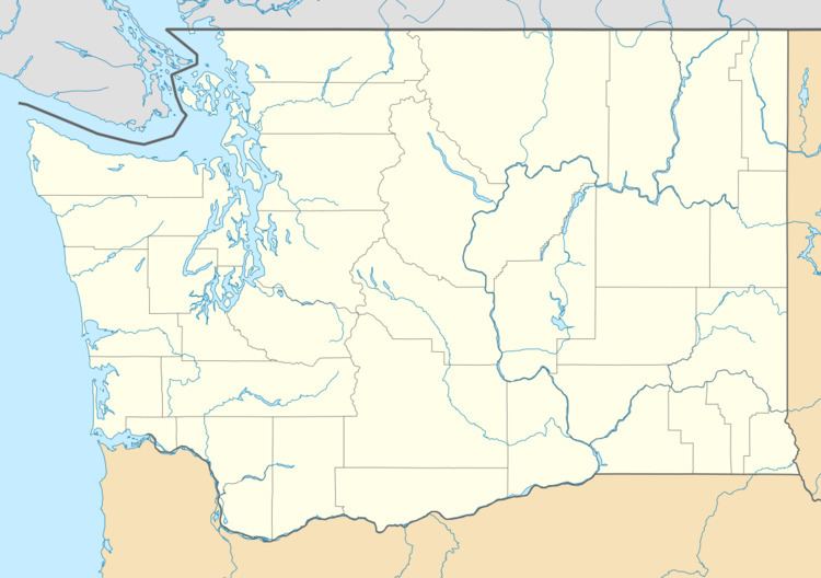
Map of Woodland Park, WA 98603, USA
Woodland Park is located 19.3 miles (31.1 km) southwest of Mount St. Helens. The eruption of Mount St. Helens on May 18, 1980 was the deadliest and most economically destructive volcanic event in the history of the United States.
Geography
Woodland Park is located at 45°59′25″N 122°28′32″W (45.9903884, -122.4756559).
References
Woodland Park, Washington Wikipedia(Text) CC BY-SA