
OS grid reference NZ0726 Postcode district DL13 | Sovereign state United Kingdom Local time Wednesday 2:38 PM Population 234 (2011) | |
 | ||
Weather 12°C, Wind NW at 26 km/h, 57% Humidity | ||
Woodland is a rural village in County Durham, England. It is situated 1100 feet above sea level, a few miles to the north of Barnard Castle, and west of Bishop Auckland. Woodland is a typical small rural community with most villagers finding employment in local towns and cities. Agriculture provides a living for a number of villagers, livestock rearing being the most suitable practice for such an upland area. The population of the village was 234 at the 2011 Census. They are served by a primary school, St. Mary's Church, a village hall, a single shop/post office and ‘The Edge’ public house.
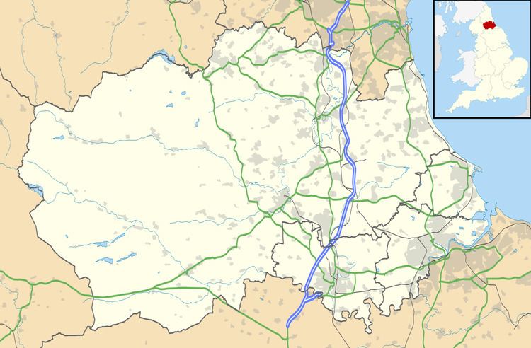
Map of Woodland, UK
Woodland stands 1100 feet above sea level and commands outstanding views of the Cumbrian Mountains to the west, the moors of North Yorkshire to the south and, on a clear day, the east coast and North Sea. Although within easy reach of towns and cities Woodland is on the doorstep of some of England's most unspoilt countryside. Teesdale and Weardale offer many opportunities for outdoor leisure. Close by is Hamsterley Forest, which is a very popular attraction offering walks, bike rides and horse riding to name just a few of the available activities.