
Population 64 (Mid-2010 pop est) Civil parish Woodham Local time Wednesday 2:05 PM | OS grid reference SP699183 Sovereign state United Kingdom Dialling code 01296 | |
 | ||
Weather 13°C, Wind NW at 18 km/h, 57% Humidity | ||
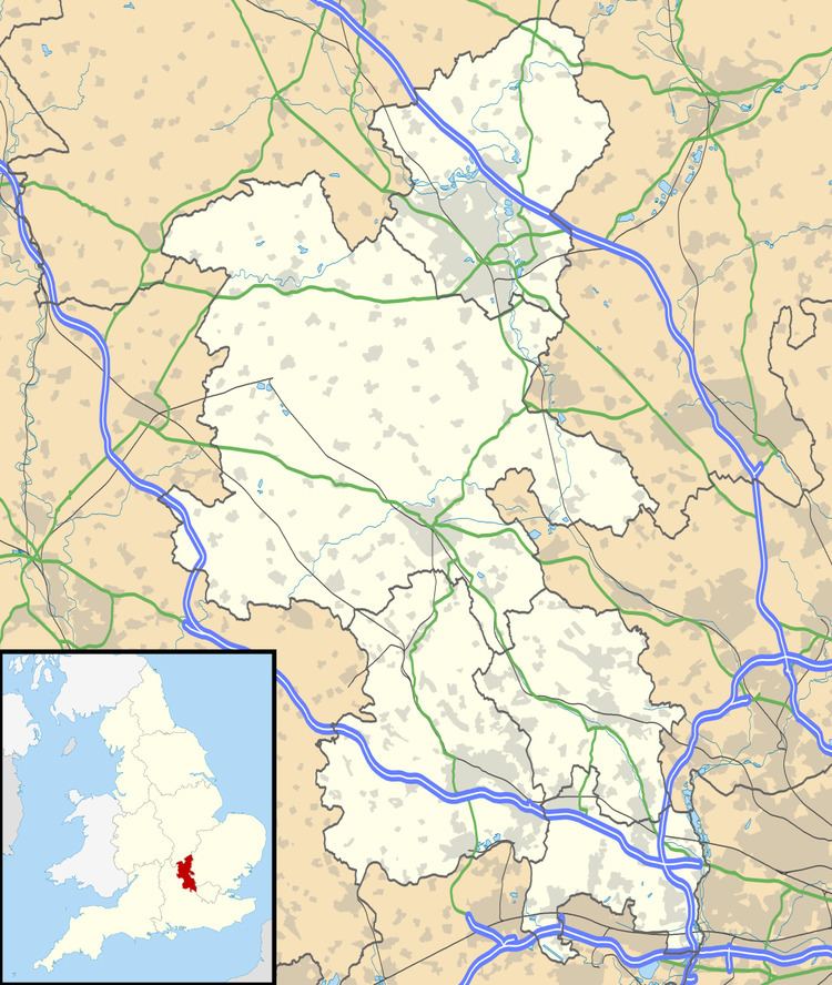
Woodham is a hamlet and civil parish about 7.5 miles (12.1 km) west of Aylesbury in Buckinghamshire. At the 2011 Census the population of the hamlet was included in the civil parish of Kingswood.
Map of Woodham, UK
The toponym is derived from the Old English for "home near a wood", referring to its proximity to the ancient Bernwood Forest.
Woodham is on the ancient Akeman Street Roman road, which since the 1920s has been classified as the A41.
In 1906 the Great Central Railway built a line through the parish and opened Akeman Street railway station where it crossed the main road at Woodham. The station had a short working life, being closed by the GCR's successor the London and North Eastern Railway in 1930.
References
Woodham, Buckinghamshire Wikipedia(Text) CC BY-SA