
Other name(s) The Sewer Length 7 km | River mouth River Witham Country United Kingdom | |
 | ||
Main source Roughton Moor
24 m (79 ft) | ||
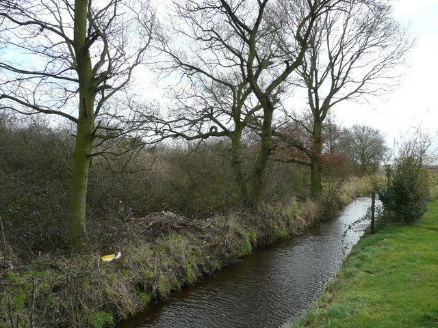
The Woodhall Sewer, most commonly simply referred to as The Sewer, is a stream running to the south of the Lincolnshire village of Woodhall Spa. Despite its name it is a natural stream that has been artificially straightened over the centuries. Rising on Roughton Moor and in Wellsyke Wood to the east of the village, it flows for just over 4 miles to the west, emptying into the River Witham at Kirkstead.
Map of The Sewer, United Kingdom
In its upper course it provides the boundary between the parishes of Roughton and Kirkby on Bain as is passes Moor Farm Nature Reserve (SSSI) and Roughton Moor Wood Nature Reserve.
Further downstream it forms the edge of urban development in Woodhall Spa, before passing through a 21st century tunnel beneath St. Hugh's School, and then is crossed by the B1192 (Tatterhshall Road) running south out of Woodhall Spa in the Town End area of the village.
Further still is runs under Abbey Lane and past the Grade II listed 16th century Kirkstead Old Hall and then onto it destination into the River Witham, entering it through a sluice gate.