
Postcode(s) 4305 Postal code 4305 | Population 1,535 (2011) | |
 | ||
State electorate(s) Electoral district of Ipswich | ||
Woodend is an inner-city suburb of Ipswich, Queensland, Australia. Its northern and eastern border is defined by the meandering course of the Bremer River. At the 2011 Australian Census the suburb recorded a population of 1,535.
Contents
- Map of Woodend QLD 4305 Australia
- Transport
- Education
- Parks and Sports Facilities
- Places of worship
- References
Map of Woodend QLD 4305, Australia
The origin of the suburb name is from the name given to the residence of Arthur Macalister, a Scottish migrant who became the second Premier of Queensland.
Transport
Woodend has no train station, however it is serviced by the nearby Ipswich Station.
Education
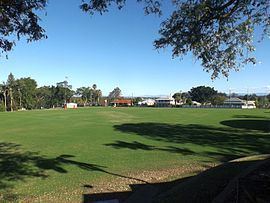
Parks and Sports Facilities
Places of worship
References
Woodend, Queensland Wikipedia(Text) CC BY-SA