
OS grid reference SP615491 Sovereign state United Kingdom Local time Wednesday 1:49 PM Population 322 (2011 census) | Civil parish Woodend Post town TOWCESTER Postcode district NN12 | |
 | ||
Weather 12°C, Wind NW at 21 km/h, 60% Humidity | ||
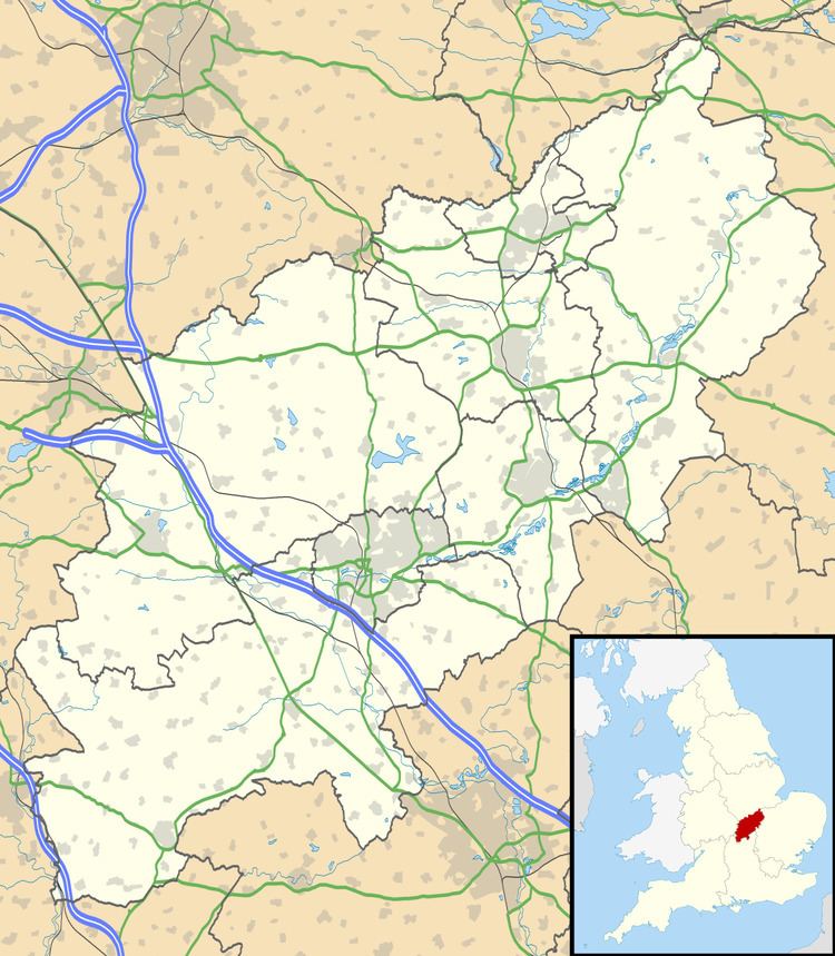
Woodend is a small village in the district of South Northamptonshire in the English county of Northamptonshire.
Map of Woodend, Towcester, UK
It is 6 miles (9.7 km) west of the town of Towcester and was a hamlet in the parish of Blakesley until 1866, when it became a parish in its own right. After World War I it was designated a "thankful village", all of the soldiers it sent to war having returned safely. The population of the village at the 2011 Census was 322.
There is a Barrow about 250 yards east of Green's Park Farm.
References
Woodend, Northamptonshire Wikipedia(Text) CC BY-SA