
Population 292 (in 2011) Local time Wednesday 1:06 PM | OS grid reference SU108599 Unitary authority Dialling code 01672 | |
 | ||
Weather 14°C, Wind N at 19 km/h, 50% Humidity | ||
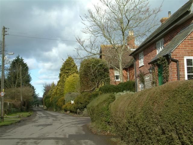
Woodborough is a small village and civil parish in the Vale of Pewsey, Wiltshire, England, about 3.5 miles (5.6 km) west of Pewsey. It is presumed to be named for the woods surrounding it.
Contents
Map of Woodborough, Pewsey, UK
Local government
The civil parish elects a parish council. It is in the area of Wiltshire Council unitary authority, which is responsible for all significant local government functions.
Church and chapel
The Church of England parish church of St Mary Magdalene is Grade II listed. It has 12th-century origins but was rebuilt in 1850, then extended in 1861, by T.H. Wyatt.
A Wesleyan Methodist chapel opened in 1822 and closed in 1970.
Transport
The Kennet and Avon Canal, opened in 1810, crosses the parish. A wharf at Honeystreet, a short distance to the north of the parish, handled cargo for the area. The Reading to Taunton railway line, built in 1862, became the southern boundary of the parish; Woodborough station closed in 1966 making Pewsey the nearest station.
Amenities
Woodborough C of E Primary School serves the parish and surrounding area. The building began as a National School in 1873.
The village has a social club. The nearest pub is at Bottlesford.