Ward 13 Area 3.4 km² | Quadrant SW Established 1980 Population 9,086 (2011) | |
 | ||
Weather -2°C, Wind SW at 6 km/h, 63% Humidity Restaurants Patisserie du Soleil Bakery C, Roc's Grill, Crispy Crust Pizzeria, Lambert Academy of Sugar, Wing's Fine Foods To Go | ||
Woodbine calgary ab backs onto fish creek 4 bd 689 000
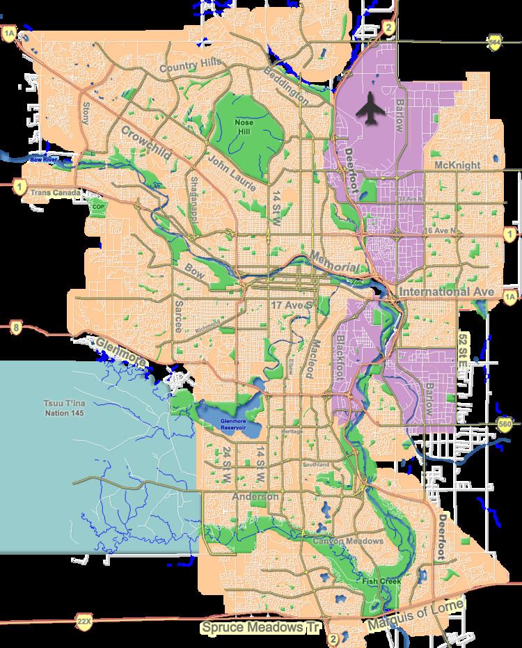
Woodbine is a residential neighbourhood in the south-west quadrant of Calgary, Alberta. It is located at the western edge of the city, and it borders the Tsuu T'ina first nation reserve to the west and the Fish Creek Provincial Park to the south. To the north it is bounded by Anderson Road and to the east by 24th Street West.
Contents
- Woodbine calgary ab backs onto fish creek 4 bd 689 000
- Map of Woodbine Calgary AB Canada
- Demographics
- Education
- References
Map of Woodbine, Calgary, AB, Canada
Woodbine was established in 1980. It is represented in the Calgary City Council by the Ward 13 councillor.
Demographics
In the City of Calgary's 2012 municipal census, Woodbine had a population of 9,131 living in 3,371 dwellings, a 0.5% increase from its 2011 population of 9,086. With a land area of 3.2 km2 (1.2 sq mi), it had a population density of 2,850/km2 (7,390/sq mi) in 2012.
Residents in this community had a median household income of $83,844 in 2000, and there were 7.3% low income residents living in the neighbourhood. As of 2000, 21.8% of the residents were immigrants. Most buildings were single-family detached homes, and 9.4% of the housing was used for renting.
Crime statistics in Woodbine are actually quite favorable compared to the rest of Calgary. In both 2006 and 2007 "Person" crimes were rated by the Calgary Police Service as 3 per 1000 population. Property crimes were 9 and 12 per 1000 population respectively. Both rates were among the lowest recorded for Calgary communities.
Education
The St. Jude Elementary School (catholic) as well as the Woodbine Elementary public school are located in this neighorhood.
