
OS grid reference SJ355729 Sovereign state United Kingdom Dialling code 0151, 01244 | Civil parish Woodbank Local time Wednesday 12:57 PM Population 109 (2011) | |
 | ||
Unitary authority Weather 11°C, Wind NW at 26 km/h, 68% Humidity | ||
Woodbank is a village and civil parish in the unitary authority of Cheshire West and Chester and the ceremonial county of Cheshire in northwest England. It is located on the Wirral Peninsula, about 6 miles northwest of the city of Chester and near the larger village of Saughall.
Contents
Map of Woodbank, UK
History
Woodbank was a township in Shotwick Parish of the Wirral Hundred and included part of the nearby hamlet of Two Mills. The population was 48 in 1801, 64 in 1851, 72 in 1901 and 77 in 1951.
Community
Woodbank is within the parliamentary constituency of the City of Chester, represented by the Conservative MP Stephen Mosley. It is also part of the Puddington and District Parish Council.
It can be accessed via the A550, the A5117 and the A540 (a former toll road). There are two minor roads running through the area - Woodbank Lane and Shotwick Lane.
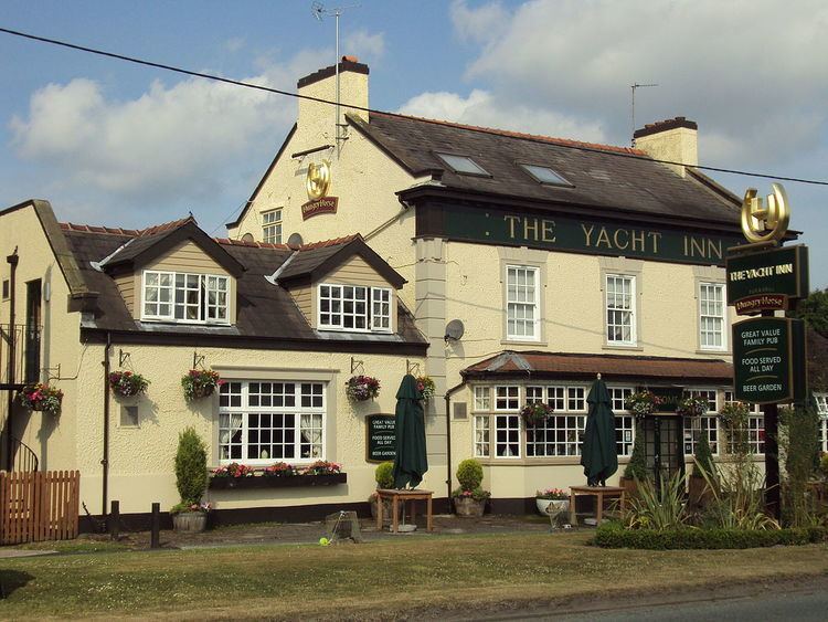
Woodbank consists of a Hall and a few houses as well as The Yacht Inn, which was built as a pub in about 1720, and is on the corner of Shotwick Lane, which leads to the former port of Shotwick on the River Dee.
The nearest railway station can be found in Capenhurst, about 1.5 miles away. There is also a bus service which passes through the area hourly, running between West Kirby and Chester.