
Country United States FIPS code 29-80908 Local time Wednesday 6:28 AM | Time zone Central (CST) (UTC-6) Population 702 (2013) | |
 | ||
Weather 7°C, Wind N at 26 km/h, 90% Humidity Area 5.931 km² (5.905 km² Land / 3 ha Water) | ||
Wood Heights is a city in Ray County, Missouri, United States. The population was 717 at the 2010 census.
Contents
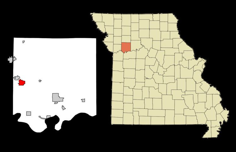
Map of Wood Heights, MO 64024, USA
Geography
Wood Heights is located at 39°20′11″N 94°10′7″W (39.336254, -94.168611).
According to the United States Census Bureau, the city has a total area of 2.29 square miles (5.93 km2), of which, 2.28 square miles (5.91 km2) is land and 0.01 square miles (0.03 km2) is water.
2010 census
As of the census of 2010, there were 717 people, 257 households, and 200 families residing in the city. The population density was 314.5 inhabitants per square mile (121.4/km2). There were 274 housing units at an average density of 120.2 per square mile (46.4/km2). The racial makeup of the city was 96.7% White, 1.5% African American, 0.1% Native American, 0.4% from other races, and 1.3% from two or more races. Hispanic or Latino of any race were 2.1% of the population.
There were 257 households of which 38.1% had children under the age of 18 living with them, 66.5% were married couples living together, 7.4% had a female householder with no husband present, 3.9% had a male householder with no wife present, and 22.2% were non-families. 17.9% of all households were made up of individuals and 7% had someone living alone who was 65 years of age or older. The average household size was 2.79 and the average family size was 3.16.
The median age in the city was 38.6 years. 28.3% of residents were under the age of 18; 7.5% were between the ages of 18 and 24; 23.3% were from 25 to 44; 28.2% were from 45 to 64; and 12.8% were 65 years of age or older. The gender makeup of the city was 49.4% male and 50.6% female.
2000 census
As of the census of 2000, there were 742 people, 248 households, and 213 families residing in the city. The population density was 329.8 people per square mile (127.3/km²). There were 260 housing units at an average density of 115.6 per square mile (44.6/km²). The racial makeup of the city was 98.11% White, 0.67% African American, 0.13% Native American, 0.13% Pacific Islander, 0.13% from other races, and 0.81% from two or more races. Hispanic or Latino of any race were 2.70% of the population.
There were 248 households out of which 41.9% had children under the age of 18 living with them, 76.2% were married couples living together, 6.0% had a female householder with no husband present, and 14.1% were non-families. 12.9% of all households were made up of individuals and 7.7% had someone living alone who was 65 years of age or older. The average household size was 2.99 and the average family size was 3.26.
In the city the population was spread out with 31.0% under the age of 18, 7.1% from 18 to 24, 27.6% from 25 to 44, 24.8% from 45 to 64, and 9.4% who were 65 years of age or older. The median age was 35 years. For every 100 females there were 109.0 males. For every 100 females age 18 and over, there were 108.1 males.
The median income for a household in the city was $51,250, and the median income for a family was $53,393. Males had a median income of $35,865 versus $24,531 for females. The per capita income for the city was $18,120. About 1.4% of families and 2.2% of the population were below the poverty line, including none of those under age 18 and 13.3% of those age 65 or over.
Name
While the city's official name is "Wood Heights", it is also known as "Woods Heights", the name with which it was recorded by the 2000 census. The origin of the town name comes from Robert "Woodson" Hite, cousin to Jesse James. "Wood" Hite was shot dead by Robert Ford, also assassin of Jesse James.