
- land 4.72 sq mi (12 km) - summer (DST) CDT (UTC-5) Population 13,969 (2013) | - water 0.11 sq mi (0 km) Local time Wednesday 6:21 AM Area code 630 | |
 | ||
Weather 6°C, Wind E at 18 km/h, 85% Humidity | ||
Wood Dale is a city in Addison Township, DuPage County, Illinois, United States. The population was 13,770 at the 2010 census, and estimated to have increased to 13,911, as of July 2012.
Contents
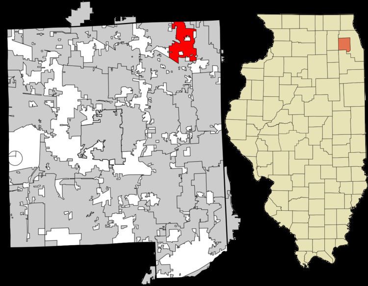
- Map of Wood Dale IL USA
- History
- Geography
- Demographics
- Top employers
- Transportation
- Notable people
- References
Map of Wood Dale, IL, USA
As part of the Sister Cities International program, a nonprofit citizen diplomacy network that creates and strengthens partnerships between U.S. and international communities, the City of Wood Dale, Illinois has reached out to the city of Cefalù, Italy on the northern coast of the island of Sicily, to establish a long term cultural, educational and business partnership between the two municipalities.
History
Wood Dale was originally known as Lester's Station, after John Lester, an early settler.
Geography
According to the 2010 census, Wood Dale has a total area of 4.834 square miles (12.52 km2), of which 4.72 square miles (12.22 km2) (or 97.64%) is land and 0.114 square miles (0.30 km2) (or 2.36%) is water.
Demographics
As of the census of 2000, there were 13,535 people, 5,117 households, and 3,663 families residing in the city. The population density was 2,897.8 people per square mile (1,119.0/km²). There were 5,220 housing units at an average density of 1,117.6 per square mile (431.6/km²). The racial makeup of the city was 89.22 percent White, 0.58 percent African American, 0.15 percent Native American, 3.24 percent Asian, 0.07 percent Pacific Islander, 4.80 percent from other races, and 1.94 percent from two or more races. Hispanic or Latino of any race were 13.06 percent of the population.
There were 5,117 households out of which 29.2% had children under the age of 18 living with them, 58.9% were married couples living together, 8.8% had a female householder with no husband present, and 28.4% were non-families. 23.1% of all households were made up of individuals and 9.6% had someone living alone who was 65 years of age or older. The average household size was 2.64 and the average family size was 3.15.
Wood Dale has two primary schools, Oakbrook Elementary School(k-2) [1] and Westview Elementary School(3-5) [2], and one middle school, Wood Dale Junior High School(6-8) as well as Holy Ghost. Wood Dale shares Fenton High School with Bensenville.
The city's population was spread out with 22.4 percent under the age of 18, 7.6 percent from 18 to 24, 29.4 percent from 25 to 44, 26.5 percent from 45 to 64, and 14.1 percent who were 65 years of age or older. The median age was 39 years. For every 100 females there were 97.7 males. For every 100 females age 18 and over, there were 93.6 males.
The median income for a household in the city was $57,509, and the median income for a family was $62,289. Males had a median income of $45,884 versus $35,247 for females. The per capita income for the city was $25,507. About 2.9% of families and 4.1% of the population were below the poverty line, including 5.9% of those under age 18 and 3.2% of those age 65 or over.
Top employers
According to Wood Dale's 2015 Comprehensive Annual Financial Report, the top employers in the city are:
At one time Claire's had a distribution facility in Wood Dale. That function is now handled by its Hoffman Estates office.
Transportation
Wood Dale has a station on Metra's Milwaukee District/West Line, which provides daily rail service between Elgin, Illinois and Chicago, Illinois (at Union Station).