
Population 374 (2006 census) Postcode(s) 6280 Postal code 6280 | Established 1856 LGA(s) City of Busselton Elevation 94 m Local time Wednesday 7:05 PM | |
 | ||
Location 219 km (136 mi) S of Perth10 km (6 mi) E of Busselton Weather 19°C, Wind S at 23 km/h, 74% Humidity Points of interest Tuart Forest National, Wonnerup House, Possum Spotlighting Trail | ||
The townsite of Wonnerup is located 219 kilometres (136 mi) south of Perth and 10 kilometres (6 mi) east of Busselton. It was gazetted a townsite in 1856, deriving its name from the nearby Wonnerup Inlet.
Map of Wonnerup WA 6280, Australia
The name is Aboriginal, and has been shown on maps of the region since 1839. The meaning of the name is "place of the woman's digging or fighting stick"; the Noongar word for fighting stick is wonna, while the suffix -up denotes place of. The wonna was made from the peppermint tree, Agonis flexuosa, a coastal native found only in the south-west, and was a common trade item of the Noongar people.
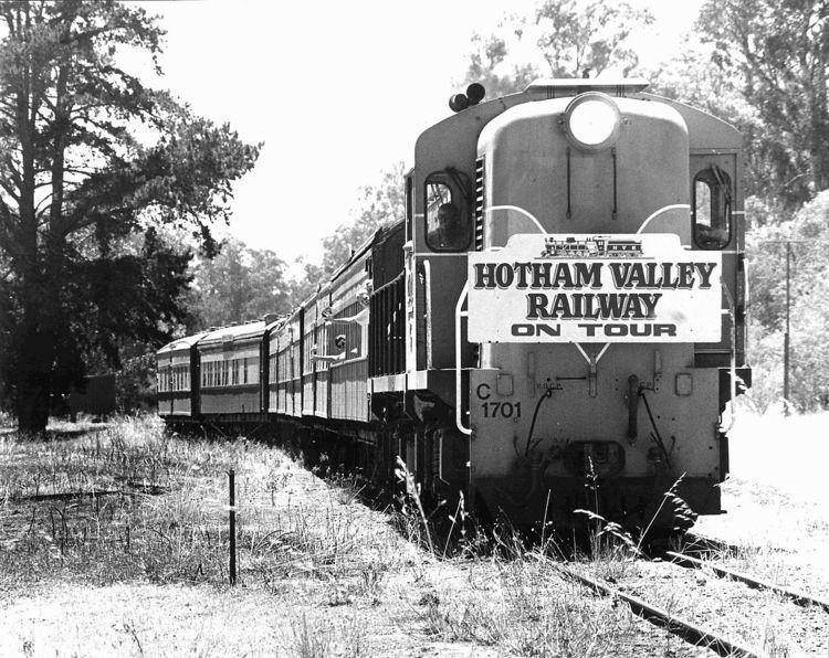
The Ballaarat Tramline, Western Australia's first railway and railway bridge, was constructed in 1871 in the locality of Lockville, within Wonnerup. Wonnerup was later the junction of the Bunbury to Busselton railway line and the Nannup Branch Railway.