
Local time Wednesday 2:40 AM | Population 90 | |
 | ||
Weather 8°C, Wind S at 6 km/h, 76% Humidity | ||
Wola Michowa [ˈvɔla mʲiˈxɔva] (Ukrainian: Воля Мигова, Volia Myhova) is a village in the administrative district of Gmina Komańcza, within Sanok County, in the Subcarpathian Voivodeship (province) of south-eastern Poland, close to the border with Slovakia. It lies approximately 15 kilometres (9 mi) south-east of Komańcza, 36 km (22 mi) south of Sanok, and 90 km (56 mi) south of the regional capital Rzeszów.
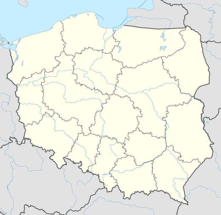
Map of Wola Michowa, Poland
The village has a population of 90.
References
Wola Michowa Wikipedia(Text) CC BY-SA