OS grid reference TM162284 Local time Tuesday 11:29 PM District Tendring Postcode district CO11 2 | Sovereign state United Kingdom Dialling code 01255 Population 720 (2011) | |
 | ||
Weather 9°C, Wind N at 14 km/h, 77% Humidity | ||
Wix is a village and civil parish in the Tendring district of Essex. It lies in a small valley about three km south of the Stour Estuary. The valley drains east towards Harwich. Formerly an important crossroads on the route to Harwich, it has now been bypassed by the A120 road.
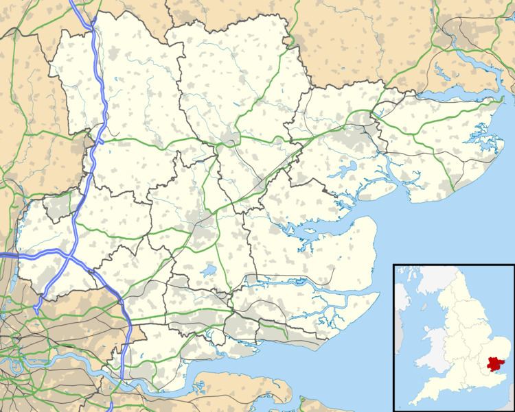
Map of Wix, UK
The church, dedicated to Saint Mary, has a detached belfry which stands in the churchyard and contains one bell. In 1961, the then owner of Wix Abbey Farm was ploughing in the church which was overgrown when he struck a large piece of dressed limestone, which with further investigation revealed a large stone coffin with a skeleton inside. Archaeologists were called in and dated the coffin to circa 1140, due to the decorative cross on the lid having Saxon influences. The skeleton is very likely that of Alexander de Wix, a founder of Wix Priory, which occupied the church grounds until the 12th century. This coffin is now on show, or was until recently on display in Colchester Castle. An almost identical but slightly smaller coffin from the same site can be found in the bellhouse, in the churchyard.
There is one pub, The Waggon at Wix, a post office and general stores in Colchester Road, the Equestrian Centre in Clacton Road and Anglian Timber.
