
Population 453 (2011 census) Civil parish Withernwick Local time Tuesday 9:45 PM Postcode district HU11 | OS grid reference TA195405 Dialling code 01964 | |
 | ||
Weather 7°C, Wind W at 6 km/h, 86% Humidity | ||
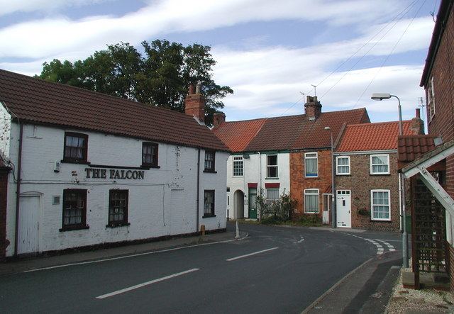
Withernwick is a village and civil parish in the East Riding of Yorkshire, England. It is situated approximately 10 miles (16 km) north-east of Hull city centre and 5 miles (8 km) south of Hornsea.
Map of Withernwick, Hull, UK
According to the 2011 UK census, Withernwick parish had a population of 453, a reduction on the 2001 UK census figure of 474.
The parish church of St Alban is a Grade II listed building.
Over the past few years the village has been in decline, having lost its Post Office, School, Methodist Chapel and Village Hall.
References
Withernwick Wikipedia(Text) CC BY-SA