
Postcode(s) 4122 | Postal code 4122 Population 10,460 (2011 census) | |
 | ||
LGA(s) City of Brisbane; (Macgregor Ward) | ||
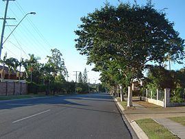
Wishart is a suburb of Brisbane, Australia. It is 14 kilometres (8.7 mi) south-east of the CBD.
Contents
Map of Wishart QLD 4122, Australia
The Brisbane Adventist College, Mansfield State High School and Primary Schools are located near to Wishart. Bulimba Creek flows through the suburb.
Newnham Road in Wishart was originally part of a stock route from farming areas south of Brisbane to the Cannon Hill saleyards. The land beside Newnham Road was eventually developed into small farming blocks, reducing the width of the stock route to that of a normal road, but it was still used occasionally by travelling stock until the 1960s. As Brisbane grew the suburb was subdivided for residential blocks.
Demographics
In the 2011 census, the population of Wishart was 10,460, 52.4% female and 47.6% male. The median age of the Wishart population was 37 years, the same as the Australian median. 67.6% of people living in Wishart were born in Australia, compared to the national average of 69.8%; the next most common countries of birth were New Zealand 3.9%, England 2.8%, China 1.7%, India 1.6%, South Africa 1.3%. 74.7% of people spoke only English at home; the next most common languages were 3.4% Cantonese, 2.2% Mandarin, 2.2% Greek, 1.3% Hindi, 1.1% Korean.